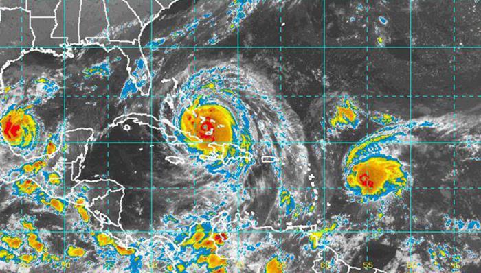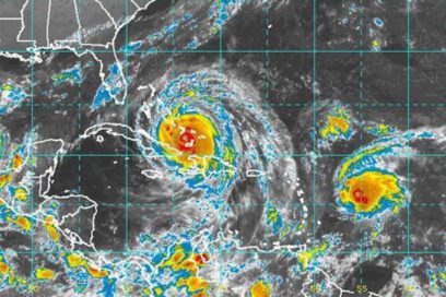
During the dawn hours, today September 8, the storm weakened slightly to become a category 4 hurricane, but maintains maximum sustained winds of 250 km/h, according to the Institute of Meteorology’s 6:00am report.
«Although it is now at the upper limit of a category 4 hurricane, close to a category 5 on the Saffir-Simpson scale, it continues to be a system of great intensity,» the institute’s latest note states.
At 6:00am, the eye of the storm was located at 21.8 degrees north and 74.0 degrees west, some 168 kilometers north of Punta de Maisí in Guantánamo, and 180 kilometers east-northeast of Punta Lucrecia, Holguín. The storm’s minimum pressure rose to 925 hectoPascal and it continues moving northwest at 26 kilometers per hour.
External bands of rain associated with Irma led to increased precipitation from the provinces of Guantánamo, in the east, to Camagüey, principally along the northern coastline.
Coastal flooding has been reported on the northern shores of Guantánamo and Holguín.
Forecasts indicate that the eastern portion of the island will have a cloudy day with showers that could be locally heavy close to the northern coastline and in mountainous areas, which as of the end of the morning will extend into the central region, becoming stronger by nightfall.
«Winds in the eastern region will be from the northwest or north between 50 and 65 km/h, up to 80 km/h with stronger gusts in areas along the northern coast, and in the center of the country, from the north or northeast between 35 and 50 km/h, which during the night will reach 50 to 65 km/h, up to 100 km/h in areas along the northern coast, with stronger gusts.
There will be storm surges of five to eight meters with coastal flooding on the northern coast in the east during the morning, which will be extended to the central region, with coastal flooding that could be heavy by the end of the afternoon.
The coastline between Cabo Cruz and Punta Maisí will experience a storm surge with waves two to three meters high. (Taken from en.granma.cu)


